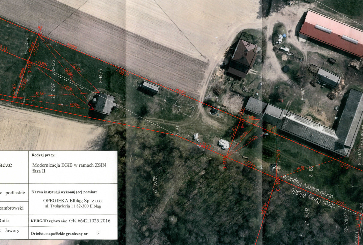
We carry out works concerning boundaries, buildings, agricultural land (usable land) and building-related structures for particular cadastral districts, municipalities and poviats. Most of the modernisations are performed on the basis of orthophoto maps and aerial photographs taken by means of our own remote sensing airborne platform operated within the framework of SKY/opegieka. The use of our own in-house applications allows for automation and shortening of the modernisation process.


