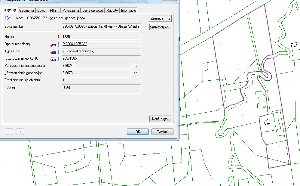
We undertake tasks associated with digitisation concerning the resources of centres for geodesic documentation for municipalities and entire poviats by means of Geoinfo, Ewmapa and Ewid software. The scope of works includes digitisation of surveys (appraisal studies), maps, land registry, descriptive indexing of scanned documentation and performance of area extension for scanned documents.


